Geography is just physics slowed down, with a couple of trees stuck in it.*
by chuckofish
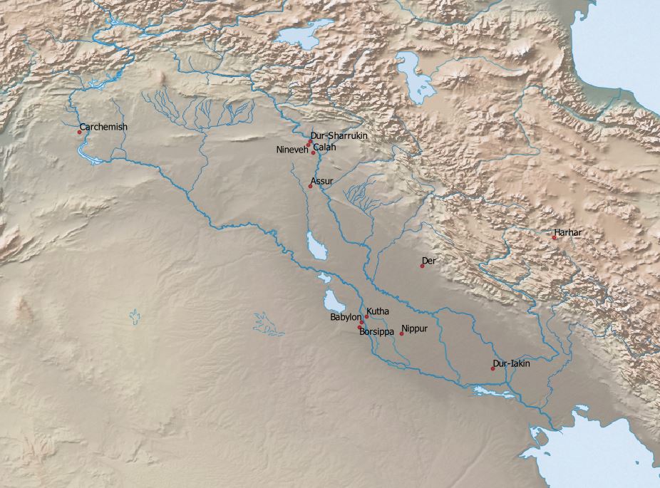
One of the things that attracted me to the digital history workshop I’ve been attending was the prospect that I’d learn how to produce a map, and wonder of wonders, I have. My first effort doesn’t look like much — Assur is in slightly the wrong place for starters — but I’m proud of it anyway. I had to find and insert the base map, add a layer of rivers, and input all the location data. I’m still working on how to label geographical features like rivers, lakes and mountains.
Besides the mechanics of digital map-making, I have learned quite a bit about cartography in general. When I was a kid, I liked to pour over the atlas to find funky place names like Moosejaw or Punkeydoodle’s Corners (both in Canada), but I had never thought much about what happens when you try to represent a 3-dimensional sphere in 2-dimensions. The Mercator Projection that we all take for granted really messes things up.
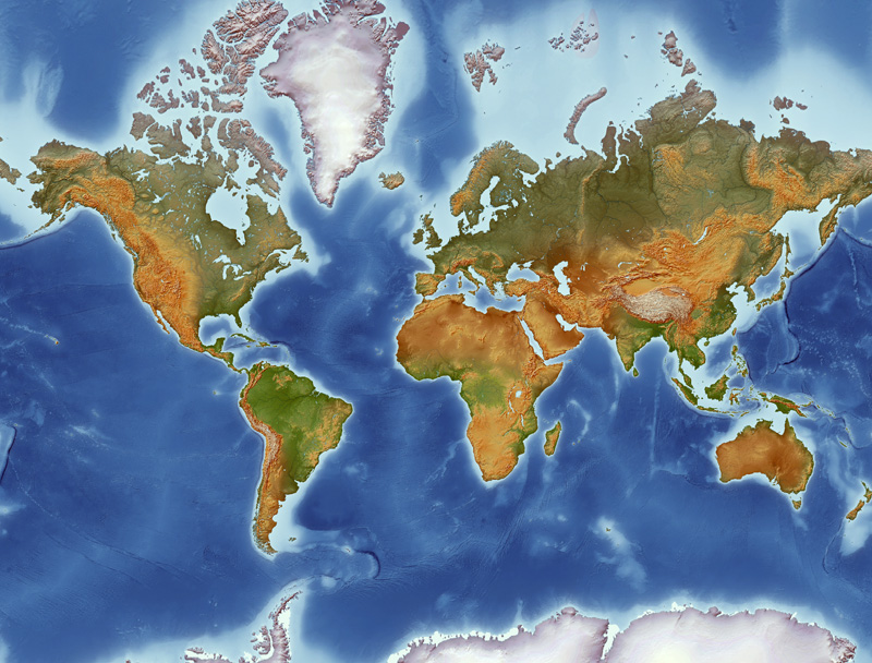
Greenland is not really the same size as Africa. Go play around at The True Size of to see just how this projection distorts reality. I had never thought about the fact that even our maps lie to us, but now I have a book that shows me how they do it.
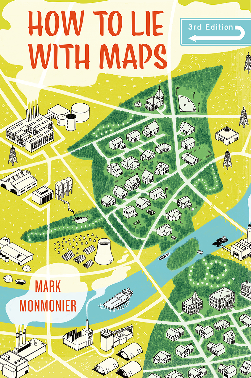
The next time you see a map that purports to show something like the number of people who own guns in Manhattan, take a minute to think about scale. What would happen to all those dots if you zoomed in? What is it that the map-maker wants you to think/feel? It turns out that maps get manipulated just as often as statistics. Is nothing sacred?
Despite a few naughty cartographers, most try hard to present information clearly and honestly. Spend some time at the Stanford Libraries’ exhibition on data visualization, and then go play around with the interactive map of the Roman world at Stanford’s Orbis. Both are wonderfully interesting and very eye-catching. I know that last week I complained about computers and I admit to having a love/hate relationship with them, but I’ll be the first to admit that in the right hands they accomplish amazing things.
This post wouldn’t be complete without a familiar song about two famous cartographers.
Finally, a shout-out to our beloved brother who will enjoy a milestone birthday this Sunday! We will celebrate properly when next we meet. In the meantime, let us all be Yankee-doodle-dandies, play music, sing and dance, shoot off rockets and make joyful noise to celebrate the birthday of two greats — our brother and our country!
*Terry Pratchett

Fascinating! I was always confused by Greenland! And, yes, a happy birthday to our bro! I saw Randy the other day–I can’t believe you guys are SO OLD! (But look so young.)
This is Daughter #1–that’s so cool! I’m impressed that you are able to do that digital stuff!
I loved to look at atlases when I was little, too! Reading maps is a very important skill! Most people don’t understand just how gigantic Africa is… the entire continental US would fit comfortably inside the Sahara Desert!
The map you made is really cool! And How to Lie With Maps definitely sounds like an interesting read.